
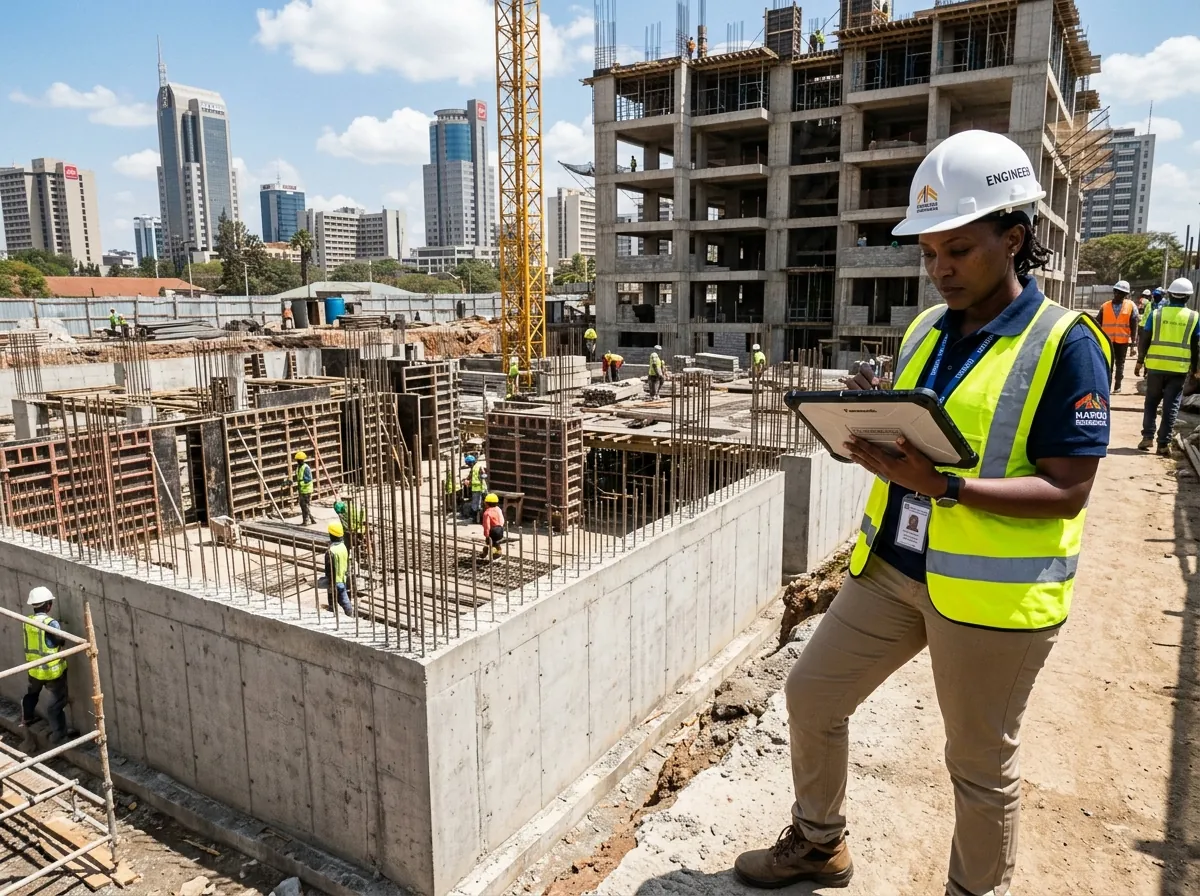
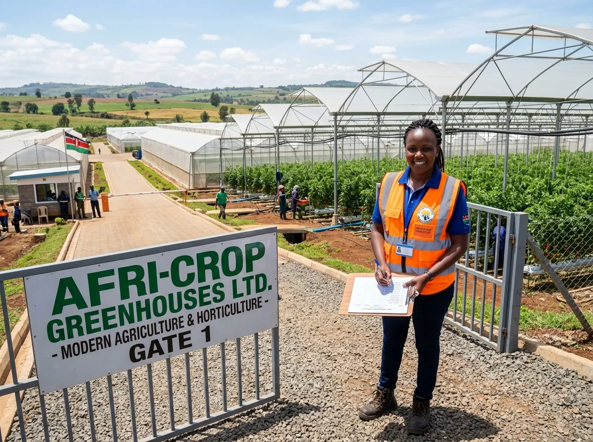
Check land or property
Ground Verification
Confirmation that the site exists and matches what you were told.
Ground verification and due diligence in Kenya
We visit the land, building project or business in person, collect photos, video and GPS evidence, and send you an independent report before you commit money.
Not sure what you need? Talk to an analyst and we will recommend the right check.
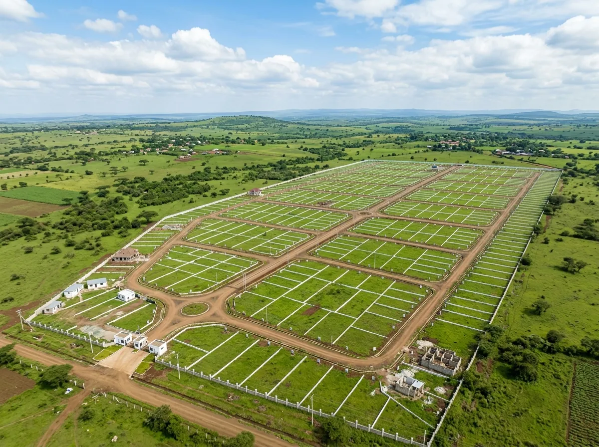
Plots, access roads and surroundings checked in person before you buy.
Why it matters
When you invest from a distance, most of what you know comes from people who gain from the deal going ahead. We go and look for ourselves.
Usually: Photos and updates sent by the seller or contractor
With AngaVeritas: Our own photos, video and GPS, taken on site by our field agent
Usually: Word from relatives, agents or the people you are paying
With AngaVeritas: An independent view. We work for you, not for the seller, contractor or project owner
Usually: A deposit paid on trust
With AngaVeritas: A written finding for each question you asked, and a clear recommendation before you pay
What we check
Pick the situation closest to yours. The estimate starts with that service, and you can change it at any point.
1Before you pay
Ground Verification
Confirmation that the site exists and matches what you were told.
Supplier & Contractor Verification
A clear view of whether they are real and able to deliver.
2Before you invest
Business Due Diligence
An independent check on the business before you invest or partner.
Feasibility & Market Study
Demand, costs and risks researched locally before you commit.
3After you invest
Project Monitoring
Progress compared against the plan, with photos at every visit.
Investment Oversight Retainer
Regular inspections and early warning when something changes.
How it works
Most one-off reports are delivered in 5–10 business days. Priority and Express options are available when we have the capacity.
Choose the service that fits: checking land or a supplier, looking into a business, testing an idea or monitoring a project. The estimate takes a few minutes.
We send a formal proposal with the scope, the price and the timeline. Nothing starts until you accept it.
Our team goes to the ground: site visits, interviews, local research and document checks. Every finding is backed by evidence such as photos, video, GPS or records.
A second person checks the work before it is released. You receive findings, risk ratings and a recommendation in your dashboard.
What you receive
Each finding answers a question you asked and points to the photo or record behind it. It ends in a recommended decision you can act on.
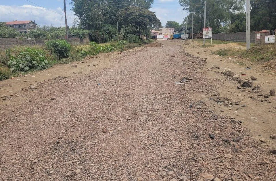
Can livestock trucks reach the farm in the rainy season?
On track Access considered adequate. An all-weather road reaches the site.
Verify access again during the rainy season.
Conditional proceed. Access is not a blocker; feed cost and transport terms must be resolved first.
Your dashboard
You create a private account when you send your estimate. Your request, proposal, evidence and reports stay together there.
Why clients trust the work
We work for you, not for the seller, contractor or project owner.
Photos and video carry GPS and capture time, and every file is fingerprinted when it is uploaded.
Someone other than the field agent reviews each visit, and a second person approves each report.
Every finding has a confidence rating, and we say clearly what we could not verify.
Anywhere in Kenya
Get an independent view of your project without relying on relatives or the people you are paying.
Standard turnaround is 5–10 business days. Faster options, Priority (2–5 business days) and Express (24–48 hours), can be arranged when we have the capacity.
Yes. The service is built for investors who cannot be on site themselves. You get photos, video, GPS evidence and a written report digitally, and we can schedule calls around your time zone.
Yes. We are based in Nairobi and travel to sites across Kenya.
Yes. Client information is never shared, and we can sign a confidentiality agreement (NDA) before we start if you need one.
No. We report what the evidence shows, say how confident we are in each finding, and state clearly what we could not verify. That is what makes the report useful for a decision.
No. GPS confirms where our observations were made. Boundaries, title and cadastral matters need a licensed surveyor or lawyer, and we will tell you when you need one.
Get an itemised estimate in a few minutes, or describe the project and we reply within one business day.